Customer profiles
ESPA Systems software products are designed for digital photogrammetry and LIDAR data processing.
Our modular product portfolio offers a solution that can be used in various organisations.
National land surveys
- 3D stereoscopic mapping
-
maintenance of nation-wide spatial databases
-
production of digital elevation models
-
small-scale mapping
City mapping offices
- 3D stereoscopic mapping
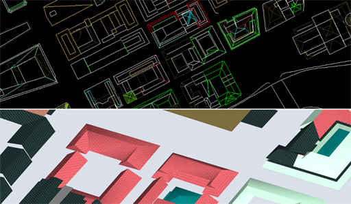
- construction of city models
- production of digital elevation models
- digital aerial triangulation
- production of orthophotos and orthophotomosaics
Mapping and civil engineering companies
- 3D stereoscopic mapping
- construction of city models
- production of digital elevation models
- small-scale and large-scale mapping
- digital aerial triangulation
- production of orthophotos and orthophotomosaics
Forestry organisations
- 3D stereoscopic mapping
- reconnaissance for field work
- maintenance of spatial databases
- production of orthophotos and orthophotomosaics
Geological surveys
- 3D stereoscopic mapping
- reconnaissance for field work
- production of digital elevation models
- maintenance of spatial databases
|